|
Professional Drone Services
Drone Survey have more than a decade of drone flying experience, a wealth of
knowledge, in that time we have flown over 450 survey missions, amassed
one thousand hours of flight time.
Our case studies highlight an unmatched skill set on the island, coupled with the largest stock of custom survey grade drones on the Isle of Man,
including a Matrice 300 RTK with full payload (thermal, lighting, radar).
Case Studies

|
|
Topographical House Survey
For a planning application. Existing / neighbour structure measurements, land elevation measurement.
Visability splays for drive access. |
|
|
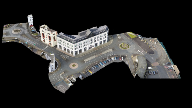
Earystane Transport Survey
18 locations, comprising roundabouts, corners and chicanes. Collected with an accuracy of 2cm for Wardell and Armstrong.
|
|
|
|
|
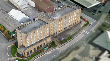
Old Nurses Home
22,000 m2 survey, site: mixed residential /
industrial, client: Manx Development Corporation
|
Historical Preservation
Over at maps.im, we catalogue Manx historical sites, creating 3D preservations in time.
Services we Can Offer
|
|
|
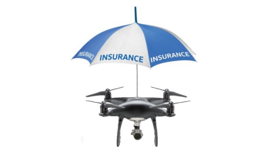
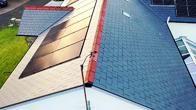
Roof Surveys
Storm damage roof inspections, domestic & commercial, our drones can capture close up images of any damage, safely without the need for expensive scaffolding, as required for insurance companies. Domestic inspections from £195
+ vat.
|
|
|

|
|
3D Modelling
Photogrammetry: 3D models from drone surveys. Our survey grade drones can create accurate survey maps and 3d models, using latest RTK GPS, or PPK corrections for
upto 1 cm accuracy.
|
|
|
|
|
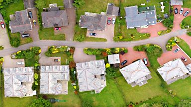
Orthomosaic Mapping
Top down high resolution mapping, large area mapping for construction and planning
projects
|
|
|
|
|
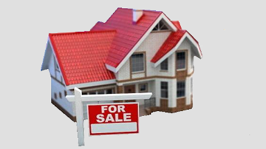
Home Sales
4K flyby videos, still images
|
|
|
|
|
Surveys
Automated mapping,
plant & tree health.
Volume measurement, precise 3D models can be created for import to various CAD or GIS packages. |
|
|
|
|
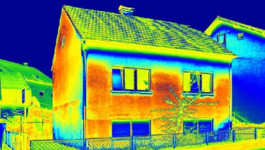
Thermal Surveys
By viewing the infrared spectrum, a thermal image survey from a drone can detect building issues, such as poor or missing insulation, pooling of water not normally visible.
Industrial surveys can detect electric
problems before they become a bigger problem. We
use the latest radiometric thermal imaging
technologies. |
|
|
|
|
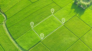
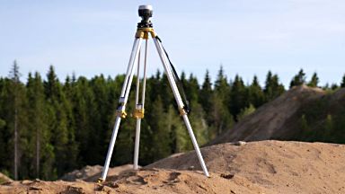
Precise Measurements
RTK GNSS multi-band GPS
/ Ground Control Points
|
|